Mauritius is often pigeon-holed as a beach destination, but look inland and you’ll find hiking trails winding up mountain peaks, across unspoiled grassy plains and through jungly forests to staggered waterfalls and cool rivers, bringing you face to face with some of the island’s most beautiful birdlife.
Visitors to the volcanic island are often surprised to find that Mauritius is far from the flat expanse of turquoise lagoons the postcards would have you believe – although there are plenty of those too.
Scout new ways to explore the planet’s wildest places with our weekly newsletter delivered to your inbox.
The island is actually great for hiking, offering clearly marked day trails for all fitness levels, from a 12-mile trek through the southwestern gorges and waterfalls to easy strolls exploring beautiful forested valleys. Here’s our pick of Mauritius’ best hikes.
 The Seven Waterfalls hike is one of the island’s most popular © Getty Images / iStockphoto
1. Tamarin Falls
Best waterfall hike
3 miles (5km) round trip, 3-4 hours, moderate
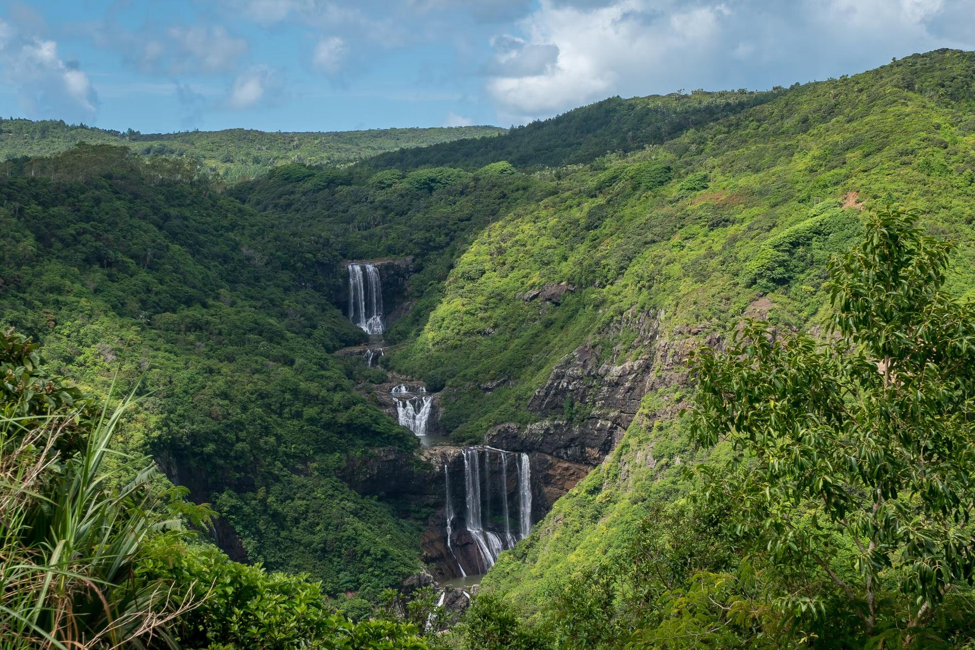
One of the island’s most popular hikes, Tamarin Falls (also known as the Seven Waterfalls) offers beautiful and varied scenery.
A short walk through sugar cane fields, past a few travelers’ palms, it’s a steep drop to the first of the seven tiered waterfalls hanging off a slate-grey rock face. The jungle trek starts here amid the acacia trees, their roots gripping the soil of steep slopes that slide down to the bottom of the canyon.
Hikers have to pick their way through the trees, holding on to branches as they go along to avoid slipping on smooth soil that’s almost at 90-degree drops in some places, guided by the sound of rushing water – which is half the fun. The other half is taking dips in the waterfalls as you work your way up the tiers, admiring views of the thick jungle surrounds, which are worth breaking a sweat for.
While it’s easy to find your way around, hiring a guide is recommended, as they take the most scenic route while imparting wonderful tales of Mauritius’ vibrant history, as well as picking out rare birds, like the kestrel or endangered pink pigeon.
2. Ebony Forest
Best hidden forest hike
3.7 miles (6km) round trip, 2-3 hours, easy
Step inside an expanse of tall black ebony trees, where endangered birds like the echo parakeet and black bulbul thrive once again. With less than 2% native forest remaining in Mauritius, the Ebony Forest is extremely special.
An important conservation area, the forest is being replanted, and easy trails for the whole family wind in and out, offering pretty coastal views of deep ocean blues that extend as far as the eye can see, from sublime viewpoints and sturdy canopy walkways.
The entrance is tucked in a corner of the Chamarel tourist village and has its own entrance fee (proceeds of which go towards conservation), meaning it’s one of the park’s less crowded sites.
 Le Morne Brabant is one of the most isolated territories on the island © Getty Images / iStockphoto
3. Le Morne Brabant
Best mountain hike for views
4.3 miles (7km) round trip, 3-5 hours, moderate
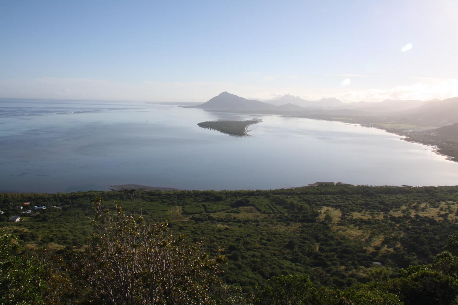
One of the most isolated territories on the island, Le Morne Brabant is a basaltic rock that juts up to the skies, peaking at 556m (1824ft).
It’s a challenging climb through an arid landscape of almost inaccessible cliffs, making it easy to imagine its caves once serving as refuges for escaped slaves in the 18th and 19th centuries, when Mauritius was an important layover on the eastern slave-trade route. A symbol of the enslaved people’s heroic fight for freedom, the area became a Unesco heritage site in 2008.
The climb up starts easy until the plateau, after which it gets steeper and more demanding, but the 360-degree views of the surrounding landscape, tethered to the Morne’s uplifting lustrous turquoise blue waters below, are worth it. On clear days, it’s also possible to see the impressive swirls of the underwater westwards.
4. Ferney Valley
Best easy hike for families
3 miles (5km) round trip, 2 hours, easy
Gently undulating hills draped in thick, vivid green forest line part of the southeastern coast, close to where Dutch settlers first set foot on the island in 1598. Wrapped around the bottom of Lion Mountain, the scenic Vallée de Ferney offers easy hiking for the whole family.
Well-marked paths take visitors across the enchanting wildlife reserve in a loop through the valley and one of the island’s last endemic forests. Ferney is also a hub for smart and sustainable agriculture, which can be explored on a tour.
For experienced hikers, it’s possible to stretch the trail to 12 miles (20km), and as it’s one of the island’s least-visited sites, you almost always have the area all to yourself.
 Black River Peak, or the Piton de la Petite Rivière Noire, is the tallest point on Mauritius © Alamy Stock Photo
5. Black River Gorges
Best longest hike
12 miles (19.5km) round trip, 6.5 hours, easy to strenuous (includes several hikes in one)
The sprawling Black River Gorges is a national park of thickly forested hillsides and dizzying canyons, tucked inland and covering about 16,689 acres in the southwest of the island.
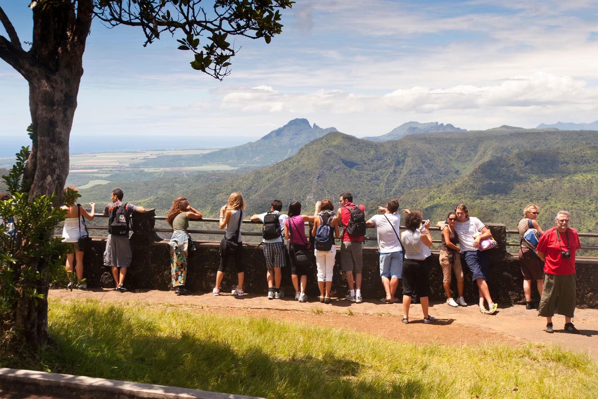
Black River Peak, or the Piton de la Petite Rivière Noire, is the tallest point on Mauritius at 826m (2710ft) and one of the most demanding hikes. Views of the swishes of green forest and the Morne Brabant peak looking out to sea are second to none.
Jumping-off point is in Plaine Champagne in Chamarel, which takes you through a forest of more than 300 native and endemic plants and a dozen endemic bird species, past waterfalls, all the way up to the peak. With more than 37 miles (60km) of beautiful trails, Black River Gorges is one of the best and most strenuous hikes on the island.
As well as the hike to Black River Peak, the main trails are Trochetia (moderate; about 1 hour) and Parakeet (strenuous; 3 hours). One of the most spectacular sites of Mauritius, it’s good for waterfall hikes up towering Alexandra Falls and Cascade 500 Pieds.
It’s also worth doing the scenic drive through Chamarel to the meditative Grand Bassin Hindu shrine, for a glimpse of incredible views – of thick blazing green forests backed by purple skies at sunset – that put a different spin on this island destination.
 Le Pouce is part of the Moka range, generally good for hiking in Mauritius © Getty Images / iStockphoto
6. Le Pouce
Best easy mountain hike
2.8 miles (4.5km) round trip, 2-3 hours, easy
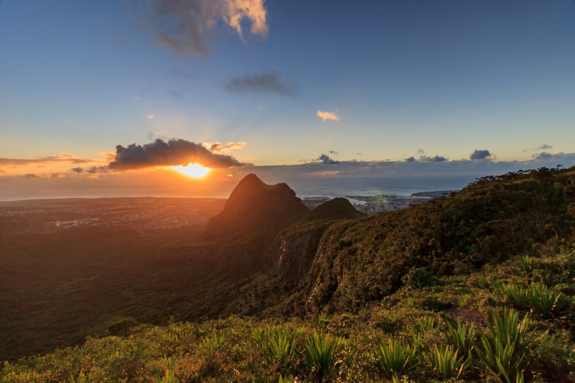
Follow in the footsteps of Charles Darwin, who, rumor has it, was the first person to climb this peak during his time on the island in 1836. One of the most emblematic mountains of Mauritius, with gently sloping sides that come together in a sharp peak that resembles a thumb (pouce, in French), it’s the island’s third highest at 812m (2664ft).
After an easy hike up, with a little scrambling at times, views at the top span the whole island, showing off its diversity, from sugarcane fields to gentle hills, mountains and towns that run all the way to the shimmering Indian Ocean.
Slotted between Pieter Both mountain, which has a small ball haphazardly balancing on the top of the peak, and Signal mountain (aptly named for a peak planted with aerials), Le Pouce is part of the Moka range, generally good for hiking in Mauritius. On clear days, it’s possible to see as far as small northern islands, such as Snake Island and Round Island.


